|
Vision Apps User Guide
|


|
|
Vision Apps User Guide
|
|
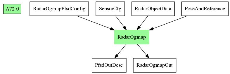
This applib provides a suite of functions to process object-level radar measurements into a world-fixed map indicating free space and parking free space around the vehicle. Apart from radar data, INS (Inertial Navigation System) data of the vehicle is required as input to determine the location of the vehicle in the mapping process. From the occupancy grid map produced by Radar Ogmap Node, the applib also determines large free space in the current map, and searches for free space resembling a parking gap. This applib supports multiple radars being fused into one map.
| Platform | Linux x86_64 | Linux+RTOS mode | QNX+RTOS mode | SoC |
|---|---|---|---|---|
| Support | N0 | YES | NO | J721e |
 1.8.15